Tinworth Sections 3-4
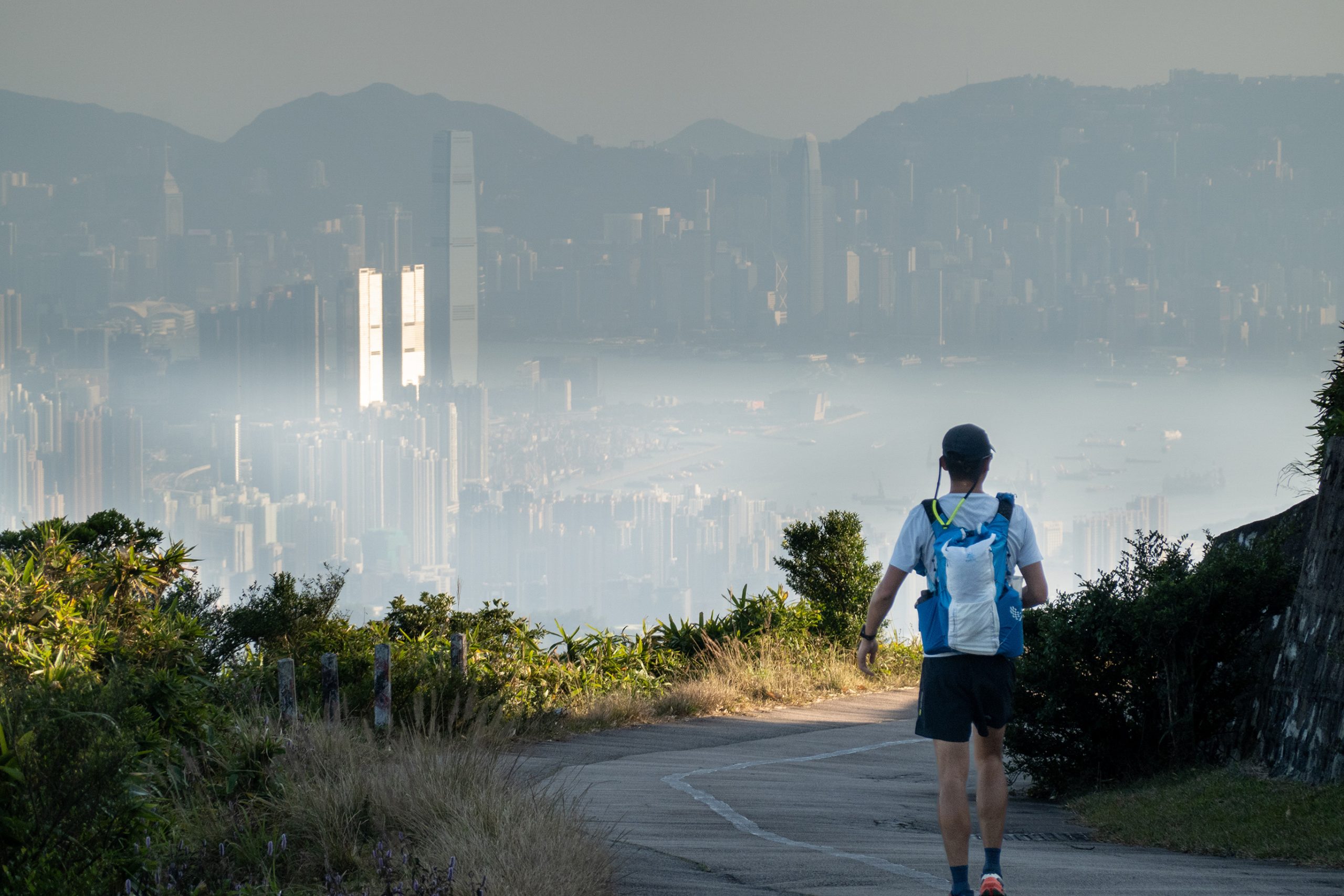
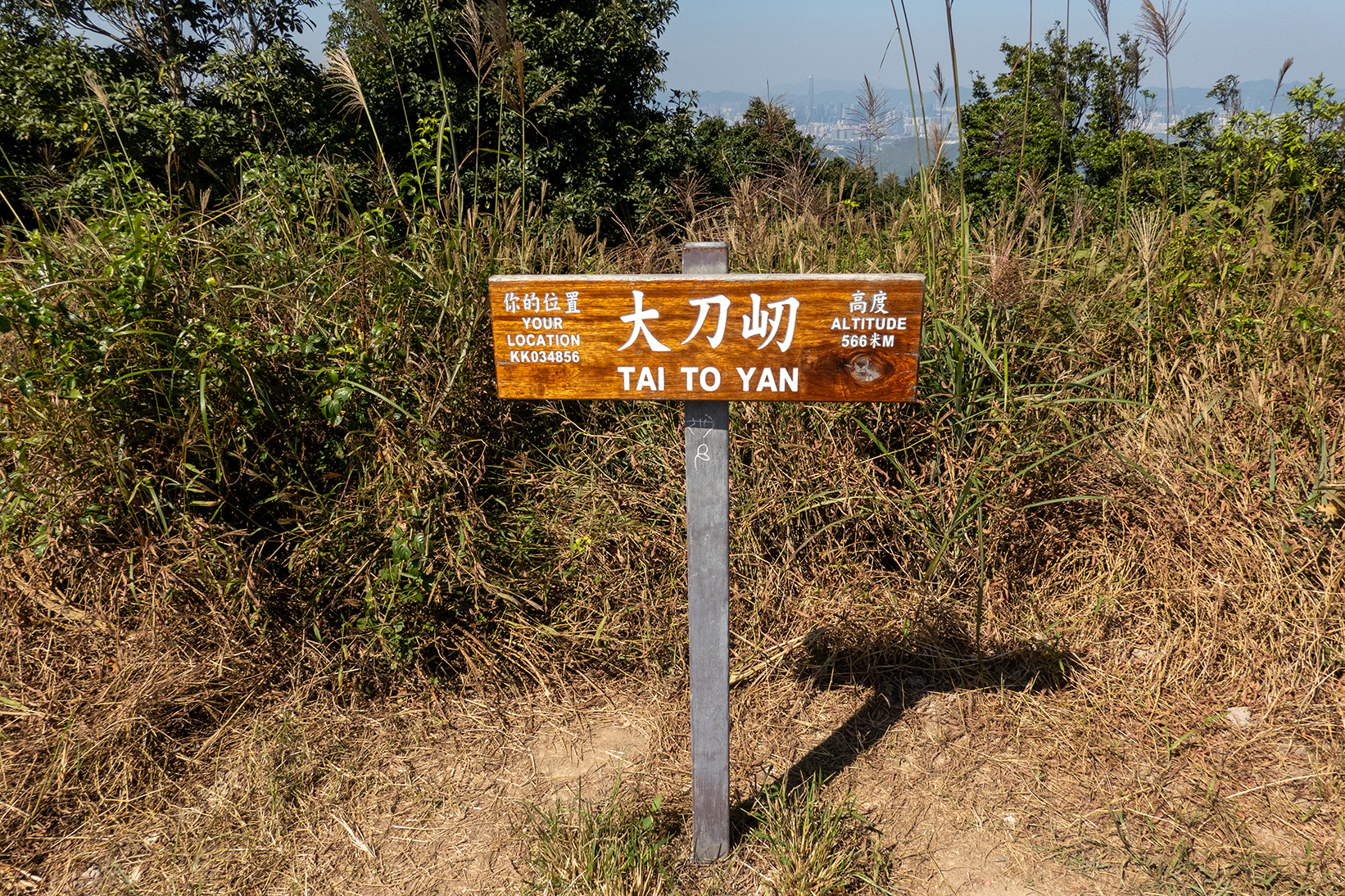
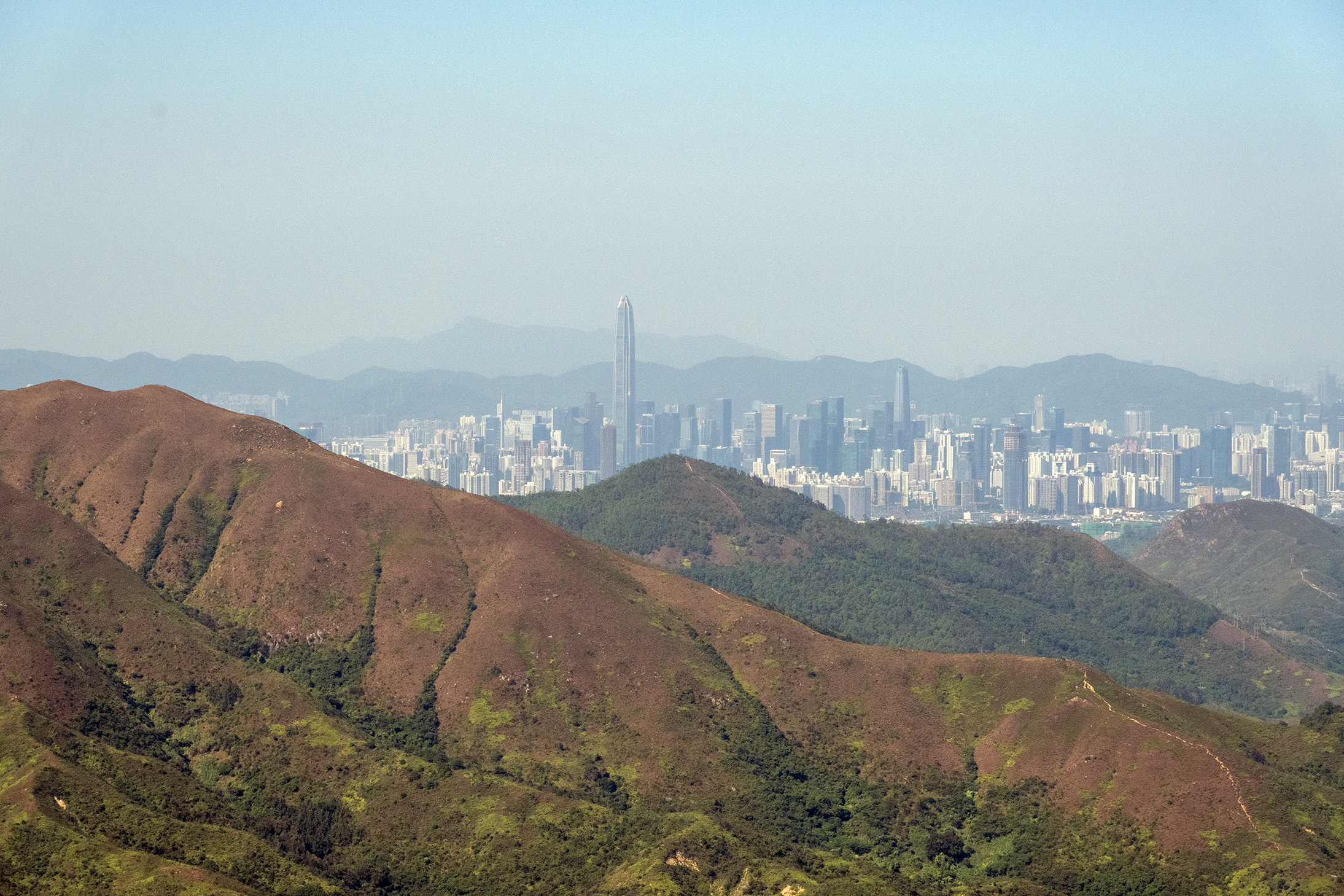
Section 3 of the Tinworth Trail begins in Fanling and climbs into the dramatic ridgeline of Tai To Yan, one of the most scenic stretches of the entire route. Hikers follow the Wu Tip Shan Trail as it ascends above the town, gradually revealing sweeping views of Shenzhen to the north. The trail then steepens, winding through forested paths toward Pak Tai To Yan at 480 meters, before continuing along a jagged ridge to the summit of Tai To Yan at 566 meters. This section is known for its exposed ridgeline and panoramic vistas over the New Territories and Kai Kung Leng. The descent toward Lam Kam Road is long and occasionally steep, offering glimpses of Tai Mo Shan—the towering peak that dominates the next stage.
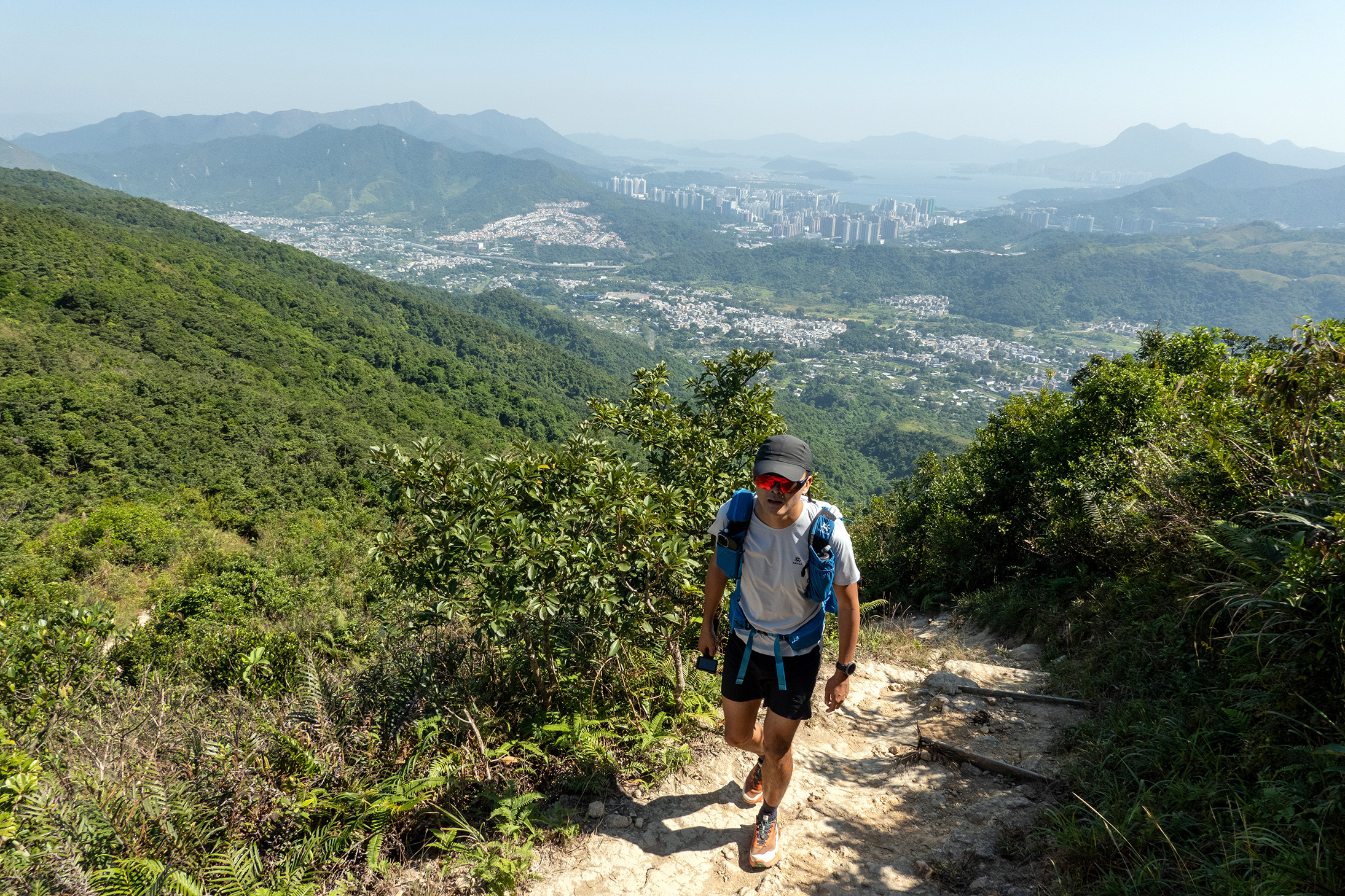
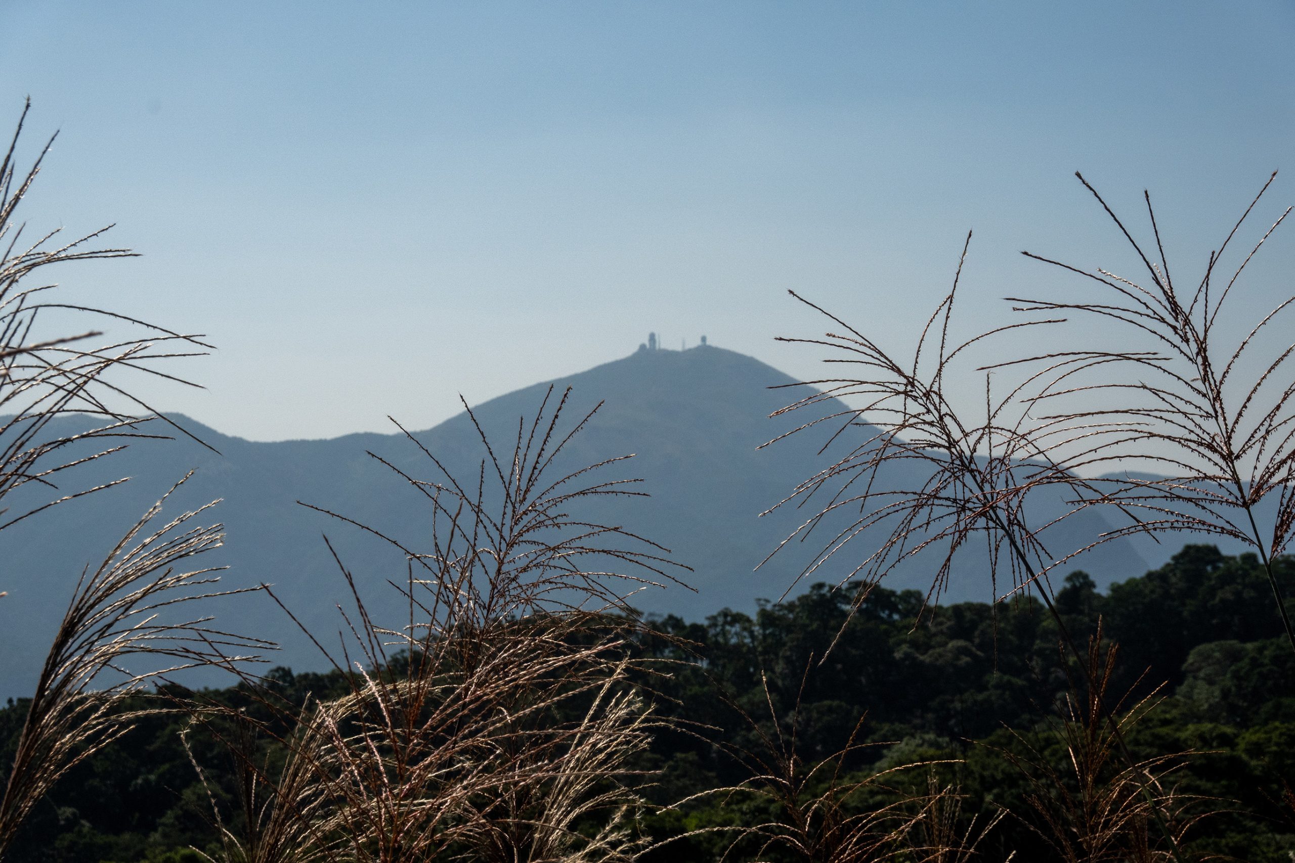
Section 4 kicks off from Lam Kam Road and heads into Ng Tung Chai village, where hikers can choose between two routes: the official Tinworth Trail or a scenic detour past the famous Ng Tung Chai waterfalls. Both paths converge higher up, leading into dense forest and a steep climb toward Tai Mo Shan, Hong Kong’s highest mountain. The ascent includes rocky outcrops and open clearings with breathtaking views over northern Hong Kong and into Shenzhen. Eventually, the trail joins a paved road near the summit and follows it down to Rotary Park at Route Twisk. This section is physically demanding, with over 800 meters of elevation gain, but rewards hikers with dramatic landscapes and a true sense of wilderness.
DIFFICULTY
DISTANCE
TIME
ELEVATION
WATCH THE VIDEO
DIRECTIONS
1. Start at Fanling MTR Station and walk to the Wu Tip Shan Trail entrance near Wah Ming Estate.
2. Follow the Wu Tip Shan Trail uphill until it merges with the Tai To Yan ridge path.
3. Climb Pak Tai To Yan, then continue along the exposed ridge to reach Tai To Yan summit.
4. Descend steeply toward Lam Kam Road, passing through forested switchbacks.
5. Cross Lam Kam Road and enter Ng Tung Chai village via the marked trailhead.
6. Optional detour: Visit the Ng Tung Chai waterfalls before rejoining the main trail.
7. Begin the steep ascent through forest toward Tai Mo Shan, following trail signs.
8. Reach the summit road near Tai Mo Shan and turn left to follow the paved path.
9. Descend along the road toward Rotary Park at Route Twisk.
10. Finish at Rotary Park, where you can rest, catch a bus, or continue to Section 5.
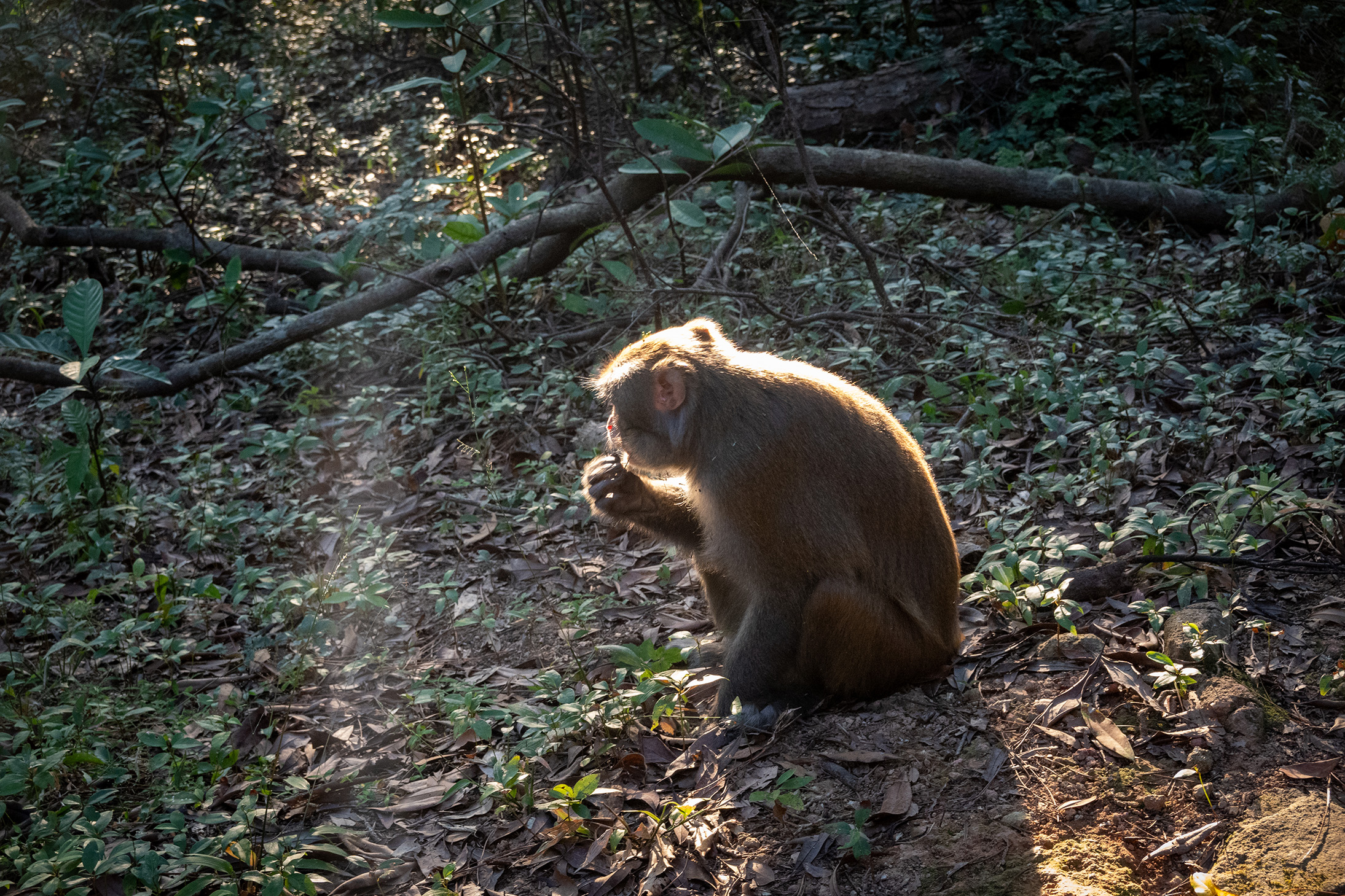
GALLERY