Tsuen Mun to Tai Po
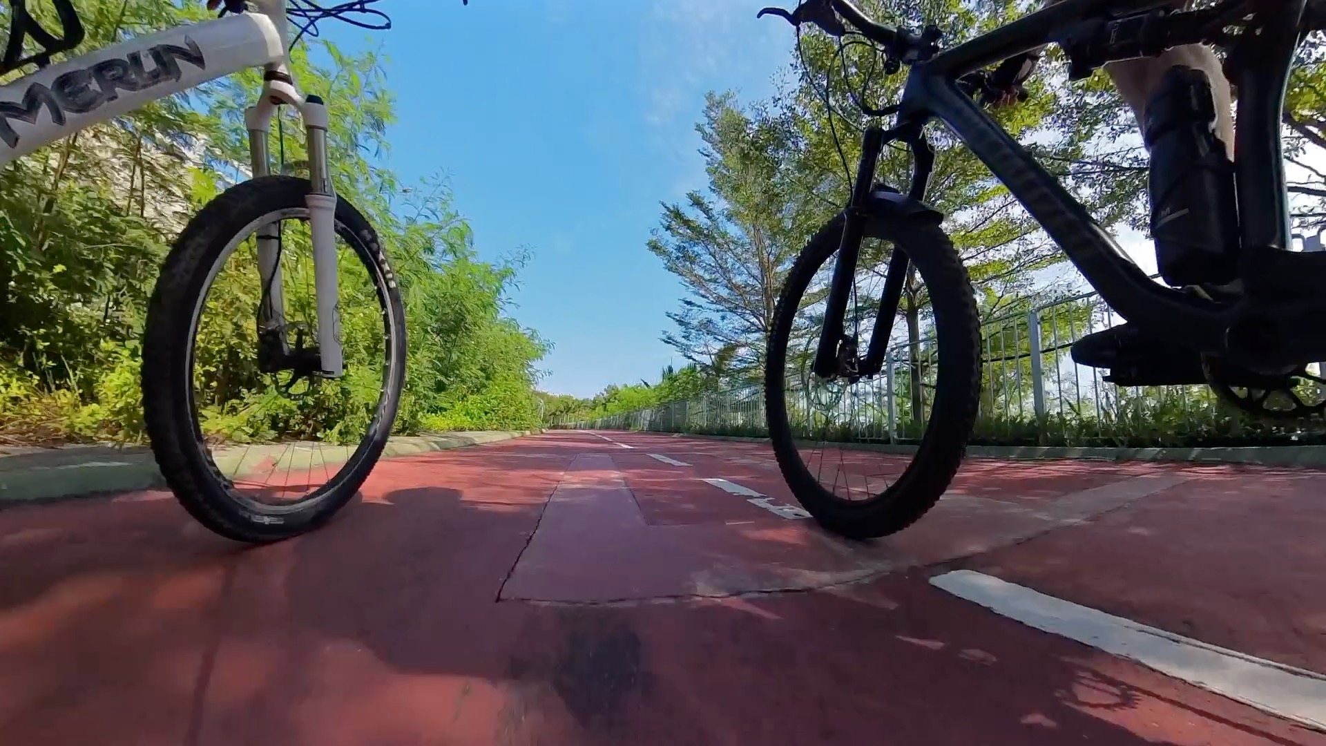
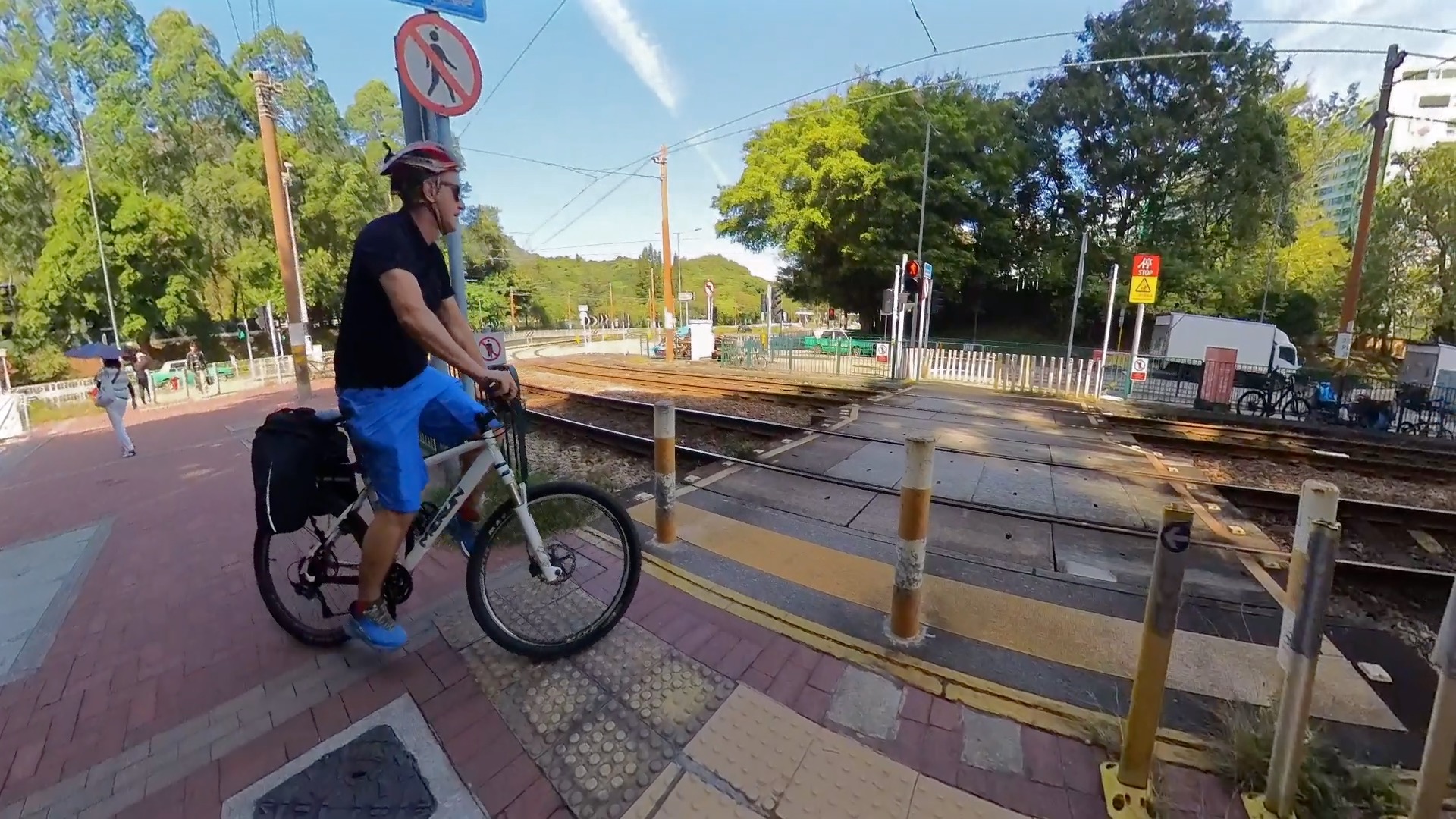
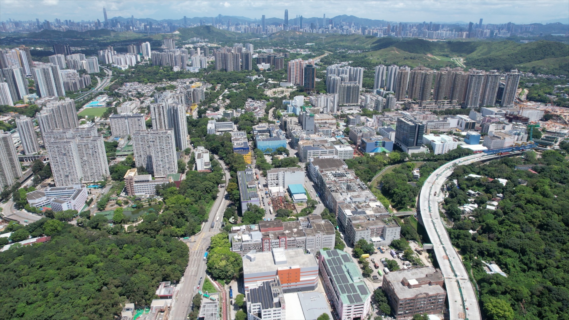
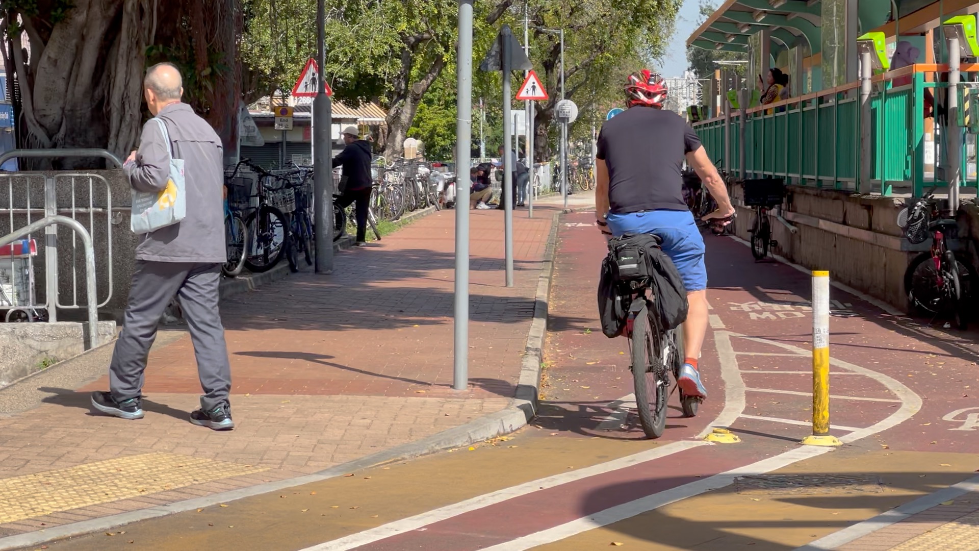
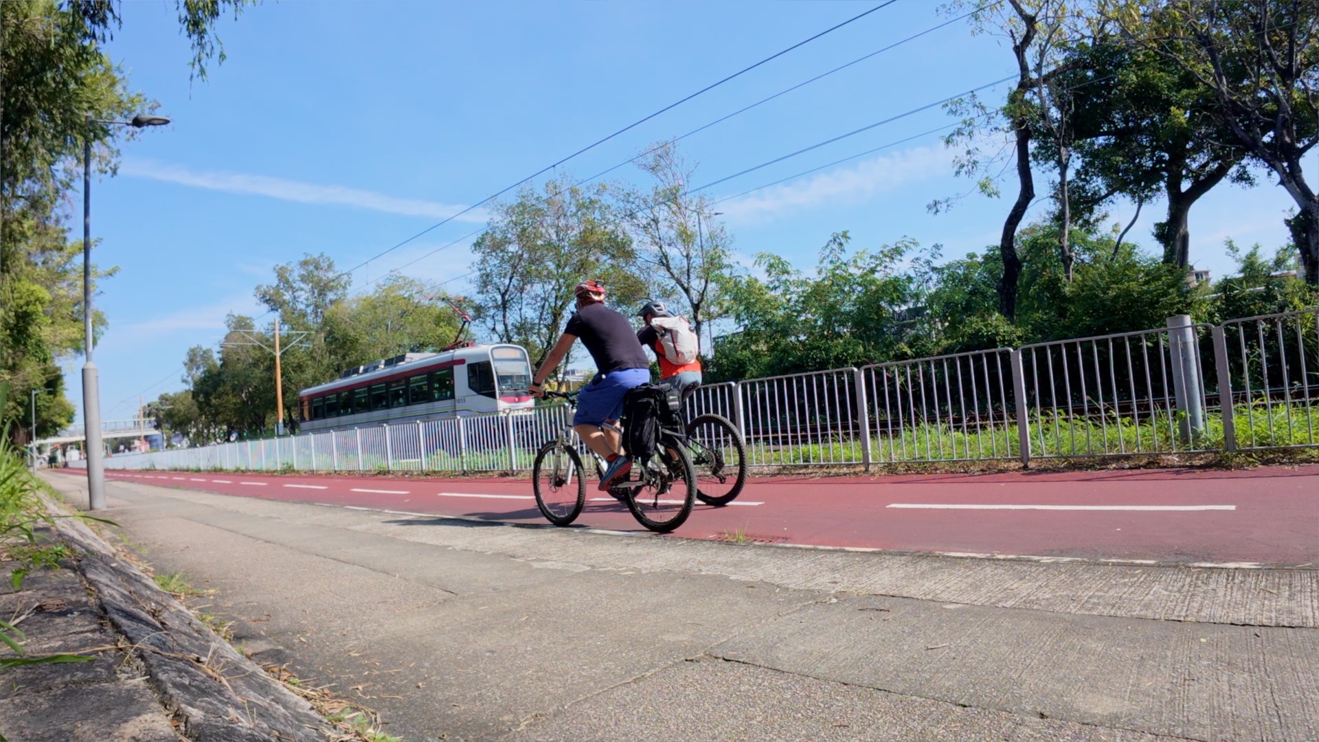
This 65-kilometer road bike journey to Tai Po presents a blend of urban and natural Hong Kong. Starting in Tuen Mun, the route initially winds through city streets before transitioning to dedicated cycling paths.
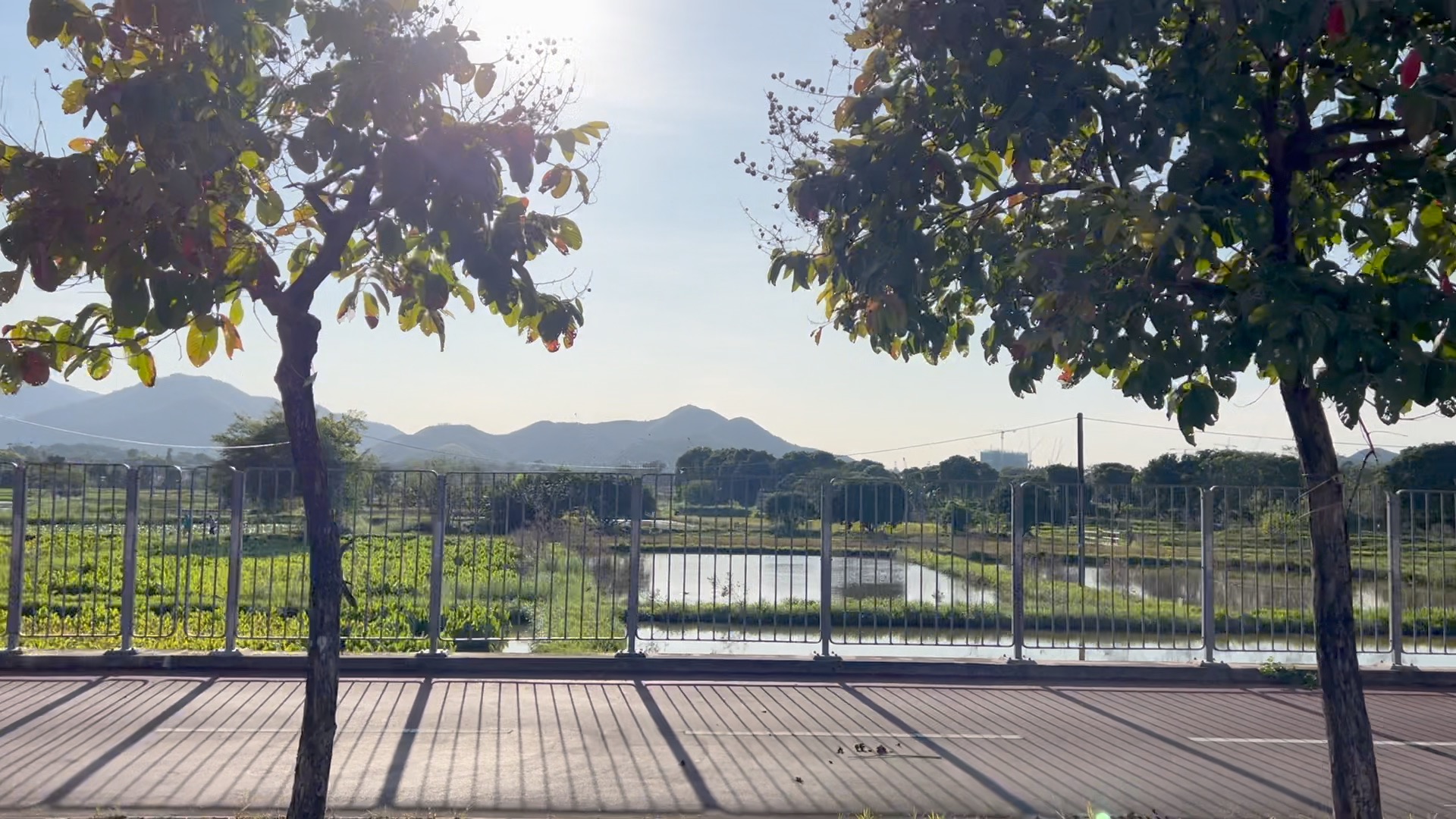
The well-maintained roads ensure a safe and enjoyable ride, with opportunities to stop and appreciate local landmarks. After passing through Hong Kong Science Park and into Tai Po, the landscape transforms into lush green hills and the scenic Tolo Harbour. The Tolo Harbour Cycling Track offers stunning waterfront views. This route provides a rewarding experience, combining a good workout with exploration of Hong Kong’s diverse environments.
DIFFICULTY
DISTANCE
TIME
ELEVATION
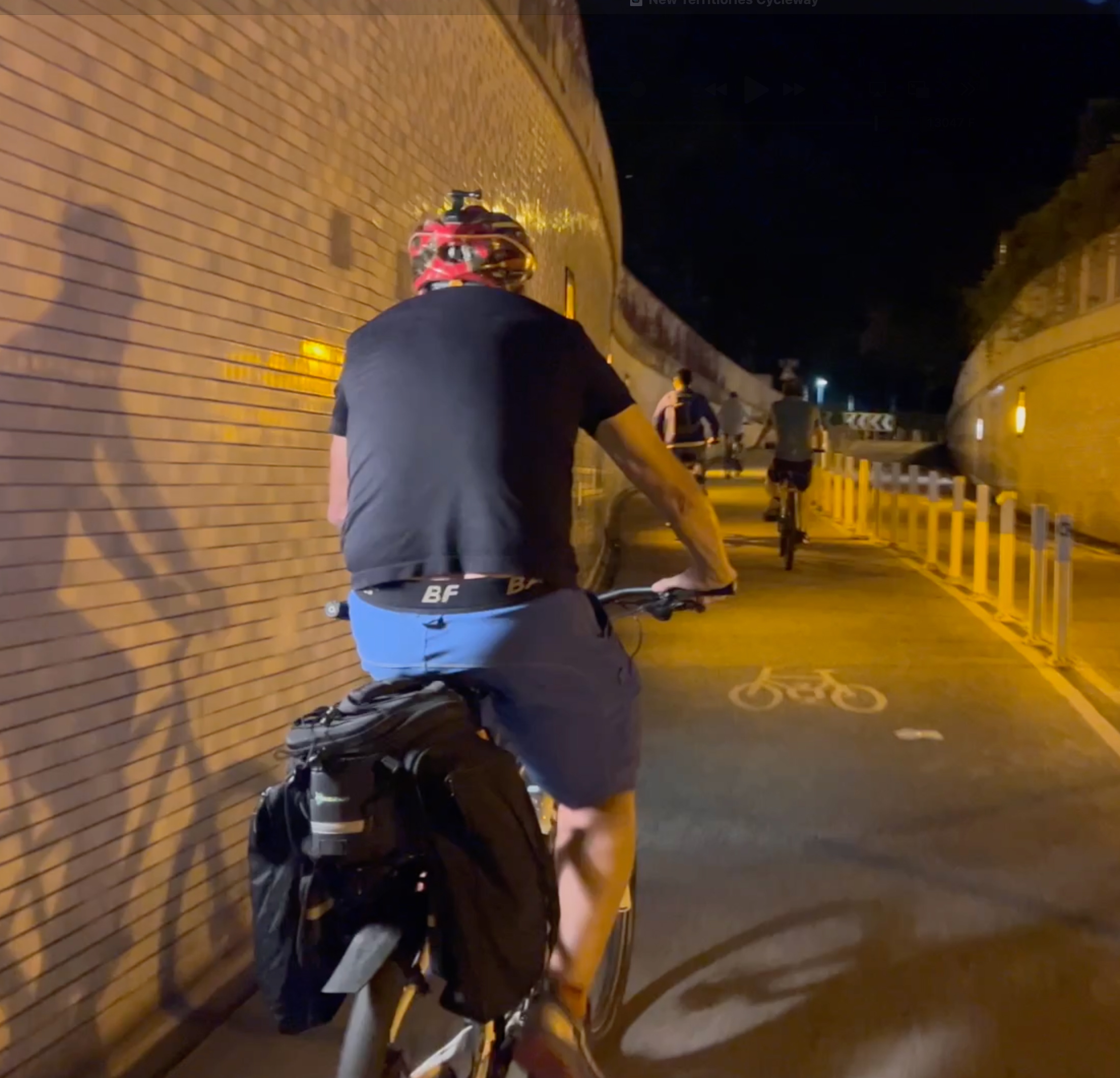
WATCH THE VIDEO
DIRECTIONS
Get to the start:
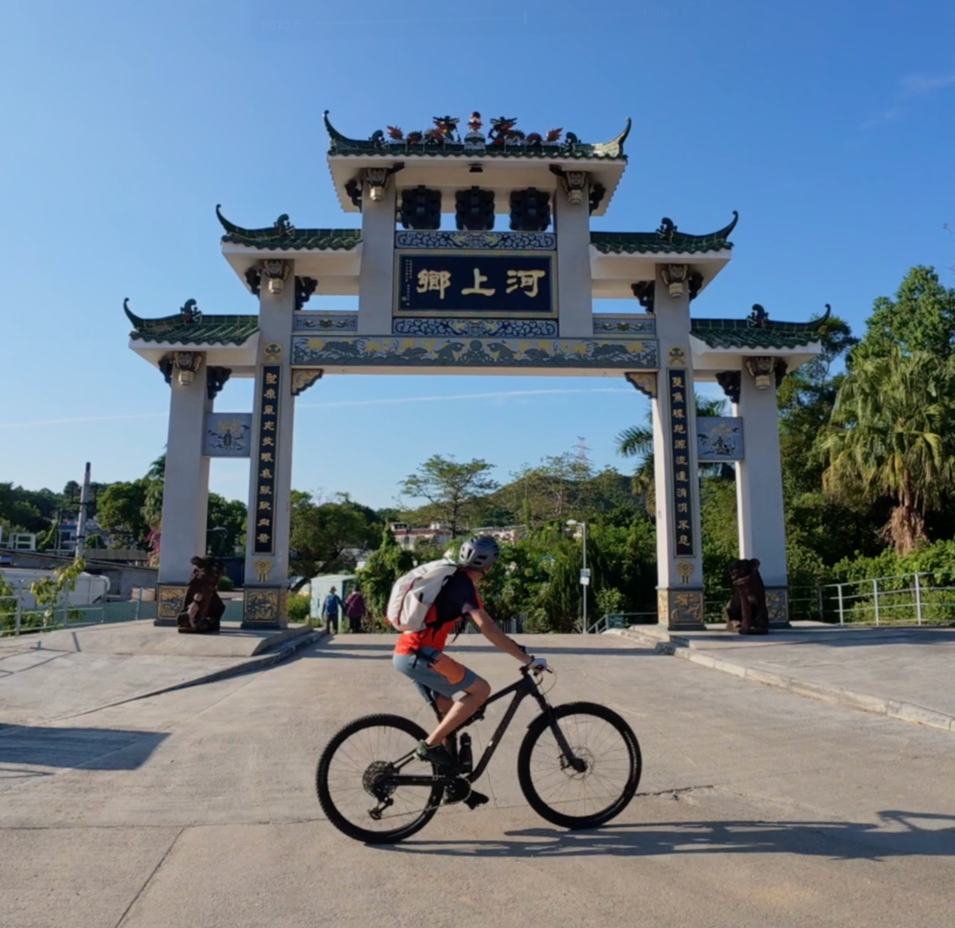
Our route begins at Butterfly Beach in Tun Mun.
From there, get onto the cycle track along Lung Mun Road.
Take a right onto Wu Shan Rd, then turn left through the playground.
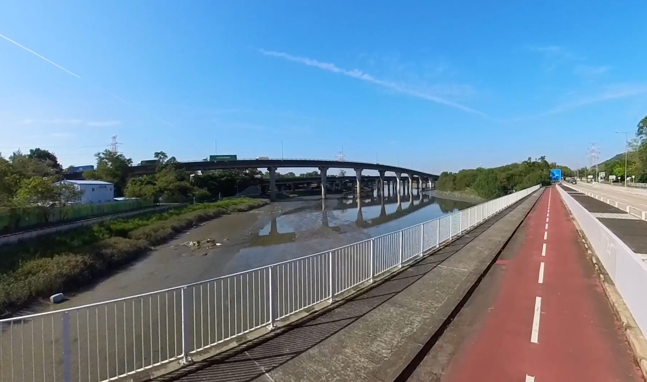
Going the Tun Mun Cycle Way and follow the Tun Mun River.
At the river’s end, filter into Castle Peak Road to Yuen Long.
Continue on to the Kam Tim River and cross the bridge.
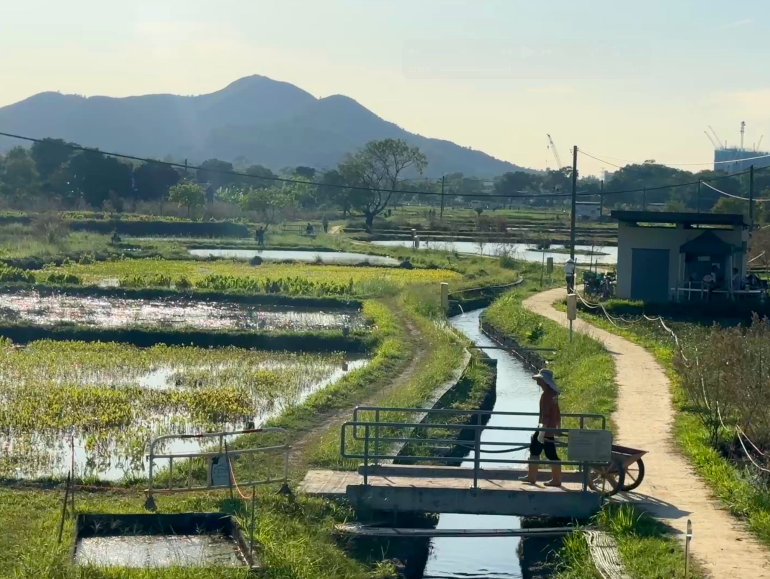
On the other side, drop down into Pok Wai Road.
Follow the waterway round and rejoin Castle Peak Road.
Continue on in the direction of San Tin and Shueng Shui.
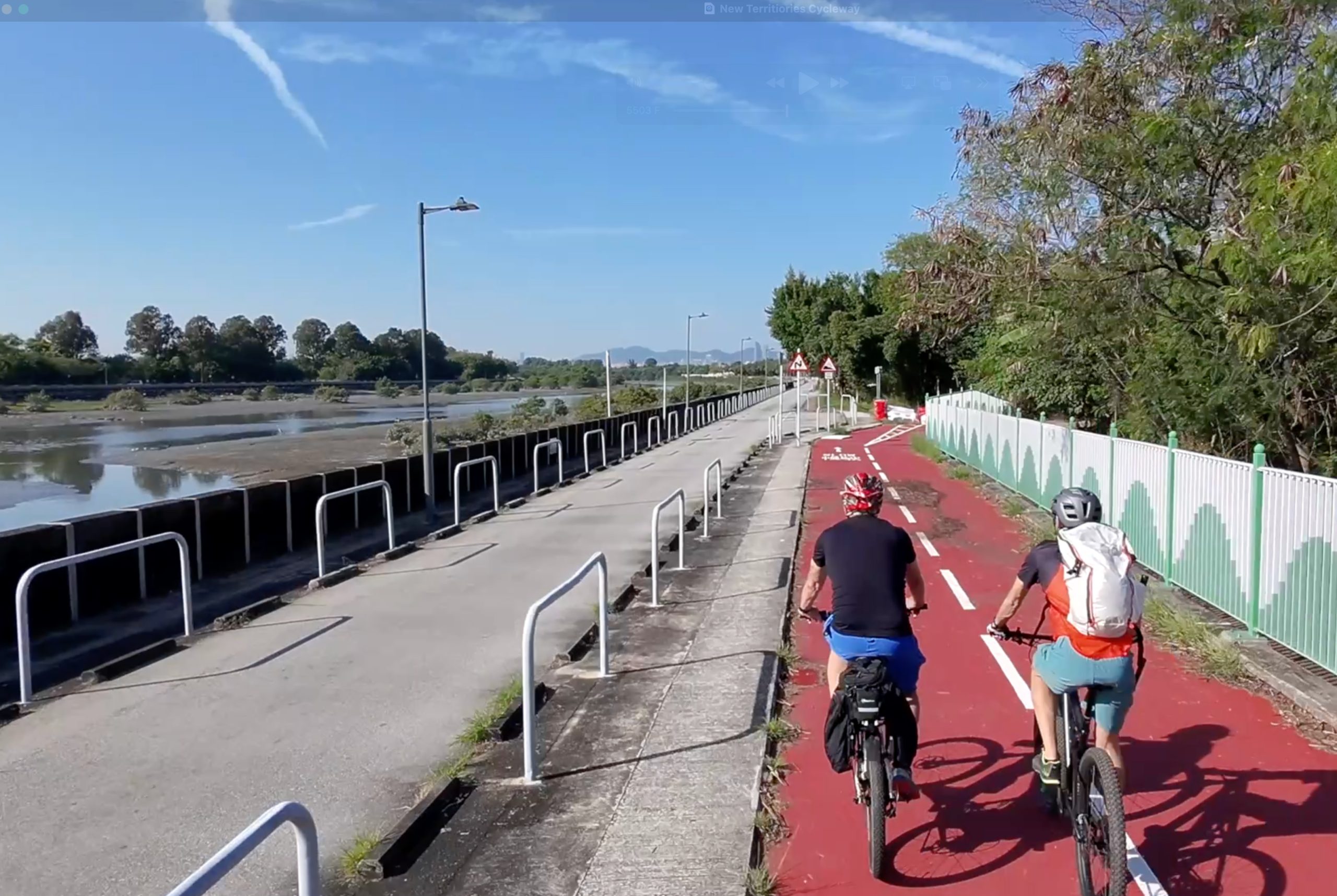
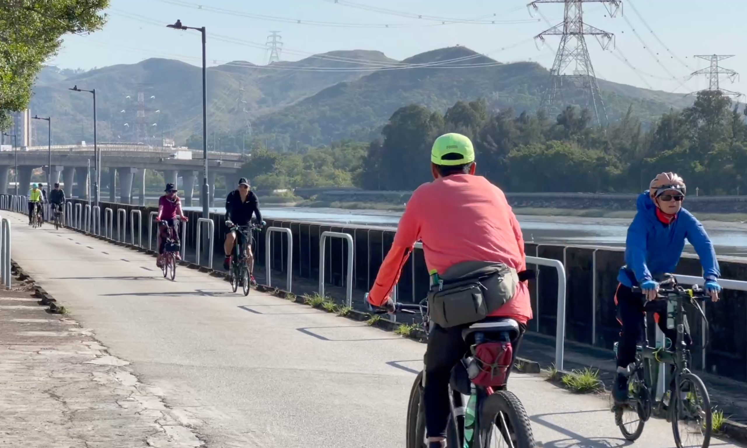
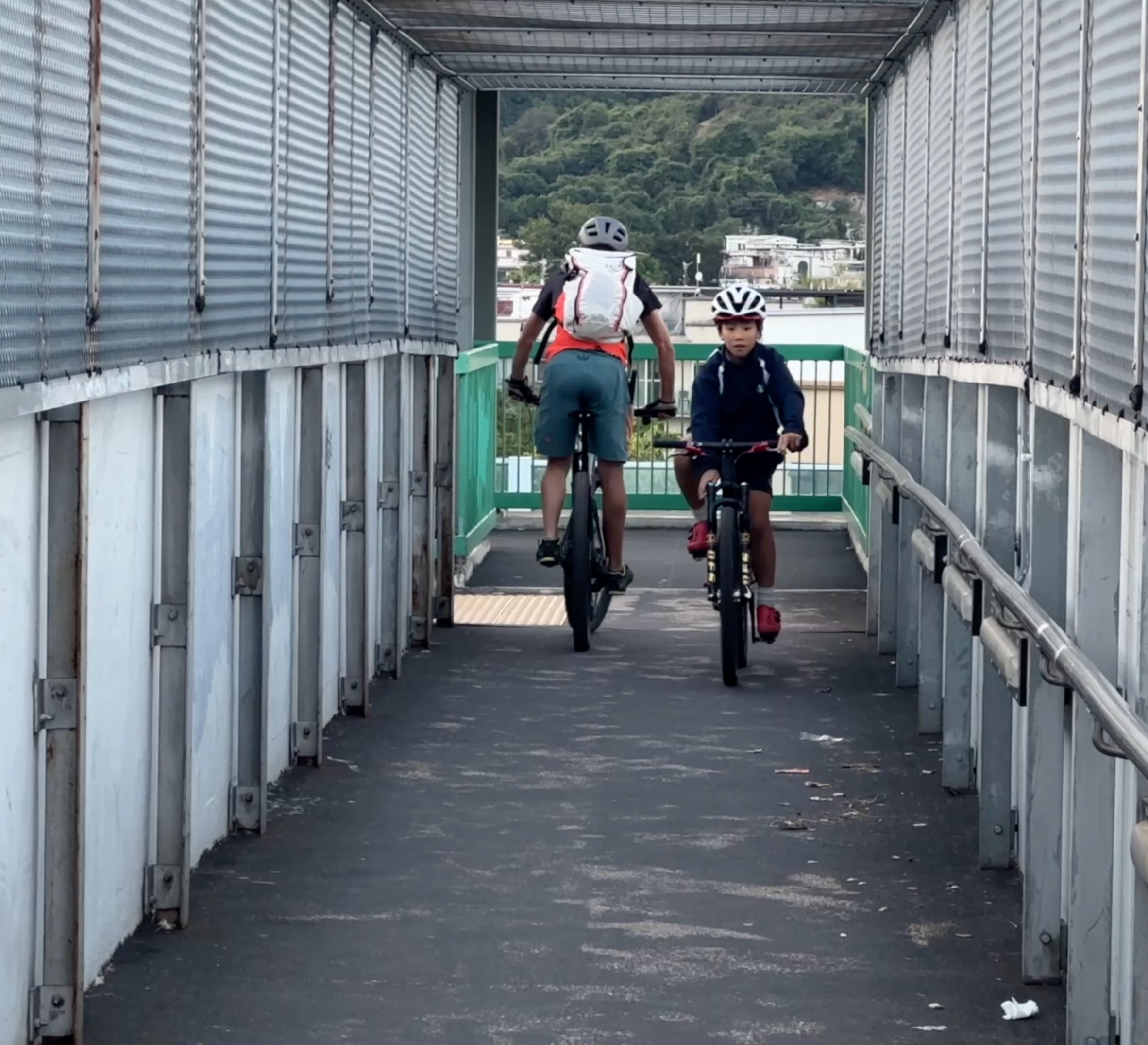
From Fanling, remain on the cycle track towards Tai Po.
Continue along Tai Po Road and along the Lam Tsuen River.
At Yuen Shin Road, cross the river and pass through the science park.
At the end of the science park, turn down the Shing Mun River.
Continue on the cycle track until you reach Tai Wai MTR Station.
Get home:
Take the MTR or make your way with alternative transport.
GALLERY